Shearsby Conservation Area Appraisal and Management Plan 2021
Ended on the 5th September 2021
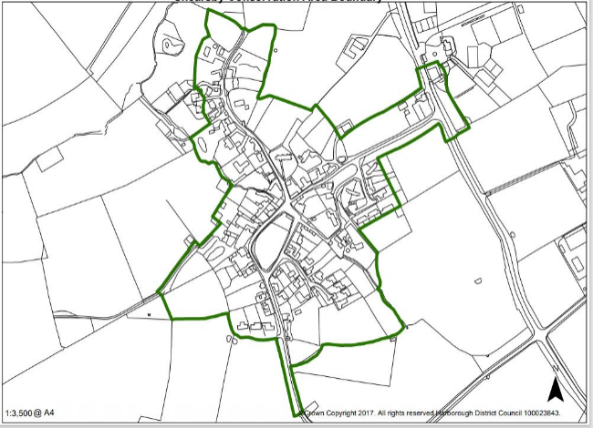
Map of Shearsby Conservation Area
1.0 Summary of Special Interest
1.1 The settlement pattern of Shearsby was formed in medieval times, although there is evidence of settlement in the area since prehistoric times. There is a long history of agricultural land use and the development of Shearsby is intertwined with the farmland that surrounds it.
1.2 The special interest of the Shearsby Conservation Area is derived from the following key characteristics:
- The medieval settlement pattern
- The secluded, tranquil character of the village located within a dip and surrounded by the hilly South Leicestershire countryside
- The strong agricultural character of the village and the relationship of the fields and farms to the traditional housing and other buildings
- The use of thatch, brick and slate for buildings, especially for traditional housing and farm buildings
- The relationship between the built environment of the settlement and the natural environment both within it and surrounding it
- The public footpaths which relate the village to its hinterland and provide connectivity to nearby settlements.
For instructions on how to use the system and make comments, please see our help guide.