Great Easton Conservation Area Appraisal
[estimated] Ended on the 27th February 2024
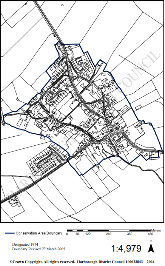
Map of Great Easton Conservation Area
1.0 Summary of Special Interest
1.1 The settlement pattern of Great Easton was formed in medieval times, although there is evidence of settlement in the area since prehistoric times. There is also a long history of agricultural land use and the development of Great Easton is intertwined with the farmland that surrounds it
1.2 The special interest of the Great Easton Conservation Area is derived from the following key characteristics:
- The medieval settlement pattern.
- The strong agricultural character of the village, with a working farm at its heart, and the relationship of the fields and farms to the traditional housing and other buildings.
- The use of ironstone, limestone, thatch and slate for buildings.
- The brook running through the village.
- The jitties that link roads within the village.
- The relationship between the built environment of the settlement and the natural environment both within it and surrounding it.
For instructions on how to use the system and make comments, please see our help guide.